The Thar is not the driest place in India, but it is the most consistently dry. Rainfall totals hover between 100 and 300 millimetres a year across most of the region, arriving in three concentrated weeks that leave the rest of the calendar parched. What grows here, and how it grows, is a question of water architecture as much as agriculture.
What a Khadin Actually Is
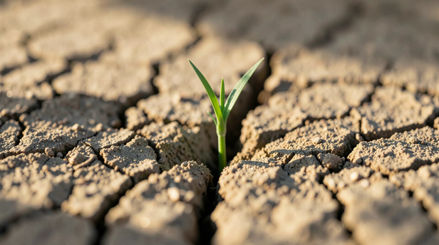
![Desert Life Emerges]()
Desert Life Emerges
Image credit : AI
A khadin is a long, low earthen embankment built across the lower end of a gently sloping catchment. The slope might run for several hundred metres. The bund, rarely more than a metre and a half high, sits at the bottom, perpendicular to the direction of flow. When rain falls on the catchment above, it sheets across the hard, compacted soil and collects behind the bund rather than draining away into the desert flats beyond.The water does not stay as a pond for long. Over days and weeks it percolates down through the bund's silt, charging the soil profile below. What remains is not a lake but a rectangle of earth that holds moisture at depth long after the surface has dried and cracked. Crops planted into that moisture, wheat, mustard, gram, draw on it through the dry months that follow. The harvest comes not from rain falling on the field but from rain that fell somewhere upslope weeks or months earlier.
Why the Bund Works Where a Canal Would Not
The genius of the khadin is that it asks almost nothing of the landscape it does not already have. The Thar's topography is not flat. It rolls in long, shallow gradients between dunes and rocky outcrops. Those gradients are exactly what the system needs: enough slope to move water, not so much that it moves too fast to catch.A canal system requires a reliable source, a river, a reservoir, a groundwater table that can be pumped. The Thar has none of these in any consistent form. The khadin sidesteps the problem by treating each monsoon shower as its own source. The catchment above the bund acts as a funnel; the bund acts as a valve; the field behind it acts as a slow-release store. The system is closed in the sense that it depends on nothing arriving from outside, only on what falls from the sky above it, however briefly.The bund also traps silt. Every runoff event deposits fine particles behind the embankment, and over generations those particles build a soil profile richer than anything the surrounding desert offers. The khadin field improves with each monsoon rather than degrading, which is the opposite of what happens to irrigated land in arid regions where salt accumulates as water evaporates.
Where the System Came From
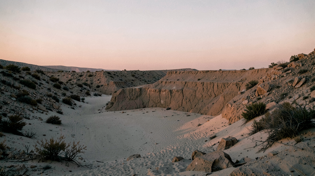
![Ancient Desert Embankment at Dusk]()
Ancient Desert Embankment at Dusk
Image credit : AI
The khadin is most closely associated with the Paliwal Brahmins, a community that settled across the Jaisalmer region and built an elaborate network of these structures across the landscape around Kuldhara and neighbouring villages. The Paliwals were traders as well as farmers, and the khadin system gave them a food base that did not depend on the same seasonal rhythms as the caravan routes they worked.The structures themselves are ancient in principle, the idea of trapping runoff behind an earthen bund appears across arid and semi-arid regions from the Negev to Rajasthan, but the Paliwal version was refined over centuries into something specific to this geology and this rainfall pattern. The bunds were sized to the catchment. The spillways cut into the bund ends were calibrated to release excess water before it breached the structure. The fields were oriented to maximise the percolation window before the dry season set in.When the Paliwals left the region in the early nineteenth century, the reasons are debated, though drought, taxation, and conflict all appear in different accounts, many of their khadins were abandoned. Some survived in use under later communities. Others sat empty for generations before being documented and, in some cases, revived.
What the Khadin Teaches About Reading a Landscape
The khadin is often described as traditional water harvesting, which is accurate but undersells what it represents. It is a precise technical response to a specific set of physical conditions, slope gradient, soil permeability, rainfall intensity, evaporation rate, worked out without instruments and refined through generations of observation.The people who built khadins understood that rain in the Thar does not fall gently. It arrives in short, intense bursts that compact the surface and run off rather than soaking in. They understood that the value of that runoff was not in the water itself but in the soil moisture it could create if slowed and held. They understood that a field watered from below, by capillary draw from a charged soil profile, loses far less to evaporation than one watered from above.These are not intuitions. They are observations precise enough to produce a structure that has functioned across centuries without modification to its core principle. The bund is the answer. The landscape was the question.
The Khadin Today
Several khadins in the Jaisalmer district remain in agricultural use. Others have been studied and partially restored under watershed development programmes, which recognised that the system's efficiency, measured as crop yield per litre of rainfall, compares well with modern drip irrigation in comparable conditions.The challenge is not technical. The structures are not complicated to build or maintain. The challenge is that the knowledge of how to size a catchment, where to cut a spillway, and how to read a slope for its runoff behaviour was held by communities and passed through practice rather than text. Where that continuity broke, the khadins went with it.What remains is visible in the landscape if you know what you are looking at: long, low earthen lines running across the desert floor, some still holding silt behind them, some breached and silted flat, all of them evidence of a conversation between people and an extreme environment that lasted longer than most agricultural systems anywhere in the subcontinent.The Thar did not become farmable because someone found water. It became farmable because someone figured out how to keep the water that was already there, briefly, annually, barely, from leaving.
Unlock insightful tips and inspiration on personal growth, productivity, and well-being. Stay motivated and updated with the latest at
My Life XP.